Difference between revisions of "Earth Science 7-Detroit, Michigan"
| Line 1: | Line 1: | ||
| − | |||
== Detroit, Michigan, USA == | == Detroit, Michigan, USA == | ||
| Line 26: | Line 25: | ||
Mean °F 26.4 28.9 37.8 49.0 61.2 70.2 75.0 73.2 65.5 53.8 42.5 31.6 51.3 | Mean °F 26.4 28.9 37.8 49.0 61.2 70.2 75.0 73.2 65.5 53.8 42.5 31.6 51.3 | ||
Min °F 19.8 21.8 29.4 39.3 50.7 60.3 65.5 64.2 56.3 45.3 35.6 25.4 42.8 | Min °F 19.8 21.8 29.4 39.3 50.7 60.3 65.5 64.2 56.3 45.3 35.6 25.4 42.8 | ||
| + | |||
| + | |||
| + | |||
| + | |||
| + | |||
| + | |||
| + | |||
| + | |||
| + | |||
| + | |||
| + | |||
| + | |||
| + | |||
| + | |||
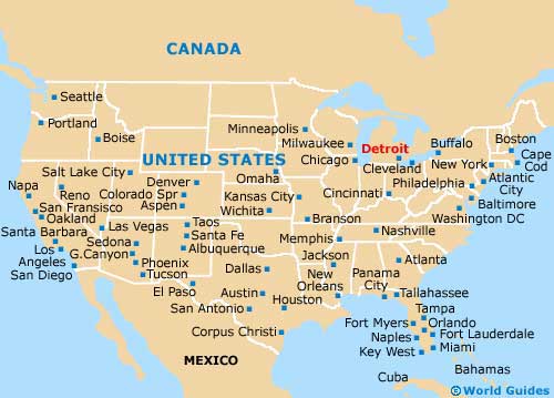
http://www.world-guides.com/images/detroit/map1_detroit.jpg | http://www.world-guides.com/images/detroit/map1_detroit.jpg | ||
Revision as of 22:57, 2 December 2010
== Detroit, Michigan, USA ==
Population: 951,270
Longitude and Latitude: 42°19′53″N 83°02′45″W
Climate: Is influenced by the Great Lakes, has cold winters with moderate snowfall. At night the temperature can drop below 0°F. In the summer it can go from warm to hot and sometimes has a temperature over 90°F.
Average precipitation: 33.58 inches, wettest month is June with an average rainfall of 3.60 inches
Bodies of Water: Detroit River and Lake Erie
Topography: the highest elevation of the city is 670 feet and the lowest elevation has a height of 579
Prevailing winds: Westerlies
Vegetation:
Temperature:
Month Jan Feb Mar Apr May Jun Jul Aug Sep Oct Nov Dec Annual Max °F 32.9 35.9 46.2 58.7 71.7 80.1 84.5 82.1 74.6 62.2 49.3 37.8 59.7 Mean °F 26.4 28.9 37.8 49.0 61.2 70.2 75.0 73.2 65.5 53.8 42.5 31.6 51.3 Min °F 19.8 21.8 29.4 39.3 50.7 60.3 65.5 64.2 56.3 45.3 35.6 25.4 42.8


Websites: google.com, wikipedia.com, answers.com, detroitmi.gov, detroit.worldweb.com/SightsAttractions/BodiesofWater/,