Difference between revisions of "Earth Science 7 - Gantgea"
From SJS Wiki
| Line 30: | Line 30: | ||
http://geology.com/pangea.htm | http://geology.com/pangea.htm | ||
| − | + | ||
| + | |||
| + | <references/> | ||
Revision as of 18:21, 13 November 2011
Earth Science 7-Global Regions Index
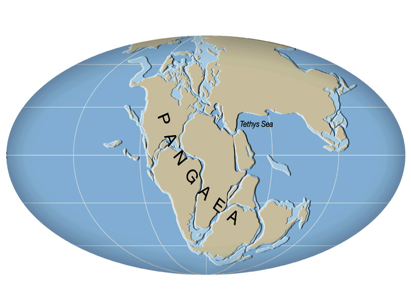
Gantgea
Latitude Range 90 degrees N to 75 degrees S
Longitude Range 90 degrees W to 20 degrees E (at the equator)[1],
Elevation Range
While the exact elevations of the highest and lowest points were difficult to determine, this interactive site will allow one to see the general topography of Gantgea.
[2],
http://www.scotese.com/Pangea2d.htm
Large Bodies of Water Panthalassa Ocean and Tethys Sea
Major Topoggraphic Features
- Mountains - Ancestral Rockies, Hercynian , and Ural System
http://www.scotese.com/paleocli.htm