10. How does GIS help people identify locations around the world?
From SJS Wiki
Return to The World in Spatial Terms Video Questions
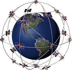
A GPS (or a geographic positioning system) is a satellight-based navigation system. It helps people to identify and locate locations by supplying them with exact coordinates along with the relative description of the area. Aside from finding a certain location GPS can also tell the location where one is located. It can benefit people because it prevents people from getting lost, helps them find exact location, and makes navigation as a whole easier.
By: Grace Knowles