Earth Science 7-Muscat, Oman
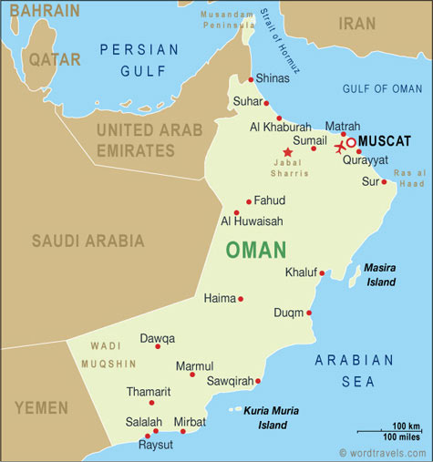
Muscat, Oman
Latitude/Longitude 24°00′N/57°00′E [1]
Elevation 9 meters [1]
Major Body of Water Bordering Gulf of Oman and Arabian Sea [1]

Contents
Climate
Climate Zone
Bwh (Semiarid) on the Koppen Climate Chart. Another city with a similar climate is Lagos,Nigeria [2]
Average Temperature
| Jan. | Feb | Mar. | Apr. | May | June | July | Aug. | Sept. | Oct. | Nov. | Dec. | |
|---|---|---|---|---|---|---|---|---|---|---|---|---|
| Average Temp. (C˚) | 22 | 22 | 25 | 29 | 33 | 34 | 33 | 31 | 31 | 30 | 26 | 23 |
| Average. High (C˚) | 25 | 25 | 28 | 32 | 37 | 38 | 36 | 33 | 34 | 34 | 30 | 20 |
| Average Low (C˚) | 19 | 19 | 22 | 26 | 30 | 31 | 31 | 29 | 28 | 27 | 23 | 20 |
Average Precipitation
| Jan. | Feb. | Mar. | Apr. | May | June | July | Aug. | Sept. | Oct. | Nov. | Dec. | |
|---|---|---|---|---|---|---|---|---|---|---|---|---|
| Average Precipitation (mm) | 10.7 | 11.7 | 38.4 | 14.6 | .1 | 0 | 3.5 | 1.8 | 0 | .4 | 1.7 | 11.4 |
| Average Snowfall (mm) | There is no snowfall in Muscat |
Factors that Regulate Climate
Muscat is quite close to many dry areas that bring in dry air that push moist air out. It is also close to a large body of water which basically regulates temperature year round. It's also a relatively flat area and that makes it warmer [3]
Pressure Zone
Because of it being on the equator Muscat, Oman is in an area of low pressure. The cities has very few prevailing winds so the climate is not affected too much.
Plate Tectonics
Muscat, Oman is located only 1.35 miles away from the Arabian plate boundary.[4]
This city is also on an ophiolite, a slice of oceanic crust that has been thrust up onto the land. This resulted in the large mountains surrounding Muscat. Muscat Oman is also built largely on an igneous rock bed, mostly diorite, and has large amounts of the mineral serpentine.[5]
- ↑ 1.0 1.1 1.2 Muscat, Oman. Google Earth. Google.com,11 Oct. 2010. Web. 11 Oct. 2010.
- ↑ http://www.uwmc.uwc.edu/geography/100/koppen_web/koppen_map.htm
- ↑ ="http://www.climatetemp.info/oman/muscat.html">Muscat Climate</a> graph contributed by climatetemp.info
- ↑ = "Google Earth"
- ↑ ="http://en.wikipedia.org/wiki/Muscat,_Oman"